Clatsop Butte Park
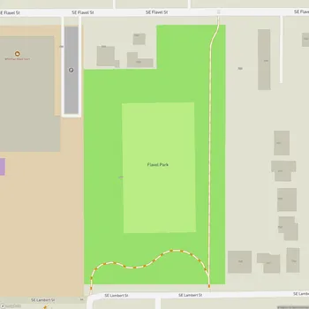
Clatsop Butte Park Map
About Clatsop Butte Park in Portland
Clatsop Butte Park is a natural area located in southeast Portland, Oregon. The park sits atop Clatsop Butte, an upland butte directly south of Powell Butte. Spanning approximately 44.41 acres (17.97 hectares), this park offers visitors a unique vantage point with grand views of downtown Portland, Mount Hood, Mount Adams, and Mount St. Helens.
The park features an interim 8-foot wide wood chip trail that gently meanders along the butte's summit. This 0.6-mile long trail is constructed using ADA engineered wood chips, making it accessible to a wide range of visitors. Along the trail, visitors can find two benches strategically placed to take advantage of the park's impressive views.
Clatsop Butte Park is not only a recreational space but also serves an important function in emergency preparedness. It is designated as a Basic Earthquake Emergency Communication Node (BEECN), a place where residents can go to ask for emergency assistance or report severe damage or injury in the event of a major earthquake that disrupts phone services.
The park's natural area comprises densely forested hillsides and creek frontage, providing habitat for various wildlife. Visitors may encounter deer, foxes, coyotes, northern flickers, pileated woodpeckers, and other local and migratory birds.
Acquired by the City of Portland in stages, with the initial 16 acres purchased in 2000, Clatsop Butte Park has grown to its current size through subsequent land acquisitions. The park's development has been guided by community involvement, with the Pleasant Valley Neighborhood Association playing a role as a project partner.