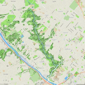
Manayunk Canal
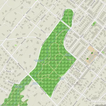
Manayunk Canal Map
About Manayunk Canal in Philadelphia
The Manayunk Canal is a historic waterway located in the Manayunk neighborhood of Philadelphia, Pennsylvania. Originally constructed in 1819 as part of the Schuylkill Navigation System, the canal stretches for approximately two miles along the Schuylkill River. It played a crucial role in the area's industrial development during the 19th century, facilitating the transportation of coal and other goods.
Today, the Manayunk Canal serves as a recreational area and a reminder of Philadelphia's industrial heritage. The canal is paralleled by a towpath, which was once used by mules to pull canal boats but now functions as a trail for walking, jogging, and cycling. This path is part of the larger Schuylkill River Trail system, connecting Manayunk to other parts of Philadelphia and beyond.
The canal's environment varies from urban to more natural settings. Along its course, visitors can observe remnants of the area's industrial past, including old textile mills, canal locks, and the ruins of structures like the lock tender's house. Wildlife thrives in and around the canal, with various species of birds, fish, turtles, and native plants making their home in this urban ecosystem.
In recent years, efforts have been made to restore and improve the Manayunk Canal. The Philadelphia Water Department has undertaken projects to reestablish freshwater flow into the canal, which had been stagnant for decades. These improvements aim to enhance water quality, reduce odors, and create a more pleasant environment for both wildlife and visitors.
While the canal itself is not currently navigable by boats, there are plans to eventually allow small watercraft such as canoes and kayaks to use the waterway. The surrounding area has been developed with a mix of residential properties, shops, and restaurants, making the Manayunk Canal an integral part of the neighborhood's character and appeal.