Emerald Park
Emerald Park Map
About Emerald Park in Little Rock
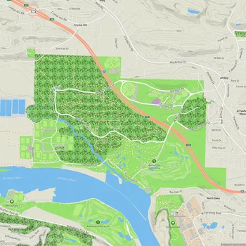
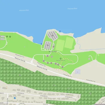
Emerald Park is a 135-acre urban park located in North Little Rock, Arkansas, along the north bank of the Arkansas River. The park is situated atop scenic river bluffs, offering visitors breathtaking views of the Arkansas River, downtown Little Rock, and Pinnacle Mountain in the distance.
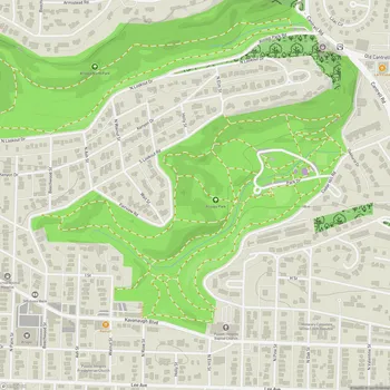
The park features a network of trails totaling approximately 5.5 miles, suitable for both hiking and biking. The main trail system consists of two parts: a paved trail on top of the bluff that connects Emerald Park to Fort Roots, and unpaved trails that wind down the bluff face. The paved section provides easy access for casual walkers and families, while the unpaved trails offer a more challenging experience for hikers and mountain bikers.
The northern side of the trail is known for its rocky terrain, particularly in the bottom third, featuring seven switchbacks that create a lengthy climb. The southern side, while less rocky, presents a steeper overall gradient. These varied trail conditions cater to different skill levels and preferences among outdoor enthusiasts.
Emerald Park gets its name from French explorers who traveled up the Arkansas River in the 1700s. They reportedly heard from Native Americans in the area about the park's location, though the specific reason for the "Emerald" moniker is not clearly stated in the available information.
The park serves as a serene retreat for both locals and visitors, offering a peaceful natural environment within an urban setting. Its location provides unique vantage points for observing the surrounding landscape and enjoying outdoor activities year-round.