Burns Park
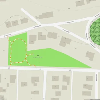
Burns Park Map
About Burns Park in Little Rock
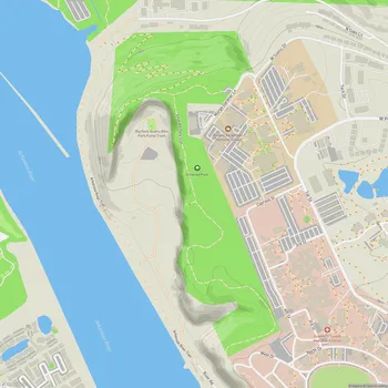
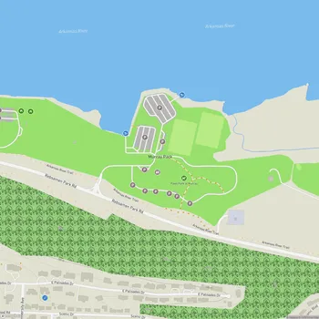
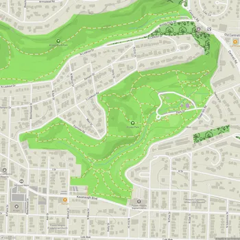
Burns Park, located in North Little Rock, Arkansas, is one of the largest municipal parks in the United States, spanning approximately 1,700 acres. The park offers a diverse range of recreational facilities and natural spaces for visitors to enjoy.
Originally part of a military training camp, the land was acquired by the city of North Little Rock in 1949. The park was named after Dr. William M. Burns, a former mayor and advocate for public parks. Since its establishment, Burns Park has undergone continuous improvements and expansions to become a comprehensive recreational area.
The park features a mix of natural and developed areas, including wooded sections with hiking and mountain biking trails, as well as open spaces for various sports and activities. It is situated along the Arkansas River, providing scenic views and access to water-based activities.
Burns Park is home to numerous sports facilities, including golf courses, soccer fields, baseball and softball complexes, tennis courts, and disc golf courses. The park also offers unique attractions such as a seasonal amusement park for children, a covered bridge, and historical points of interest like a pre-Civil War log cabin and a World War II army tank.
For nature enthusiasts, the park provides opportunities for camping, fishing, and wildlife observation. The park is also part of the Arkansas River Trail system, connecting it to other recreational areas in the region.
In March 2023, Burns Park suffered significant damage from a tornado, resulting in the loss of thousands of trees and damage to several facilities. However, efforts to restore and reopen various areas of the park have been ongoing.