Queen Anne Boulevard
Queen Anne Boulevard Map
About Queen Anne Boulevard in Seattle
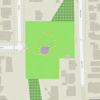
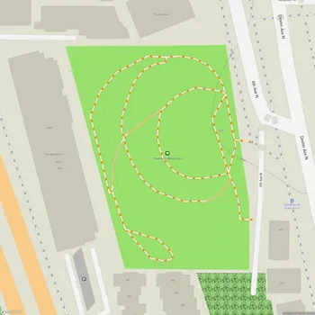
Wolf Creek Ravine Natural Area is a natural green space located in Seattle, Washington. The park is situated on Queen Anne's north side, where Wolf Creek flows through a deep canyon crossed by Queen Anne Drive on a landmark bridge between Nob Hill Place North and 2nd Avenue North. The ravine's course roughly follows the line of 3rd Avenue North between Queen Anne Drive and Lynn Street.
This natural area is part of Seattle's park system and serves as an important ecological corridor in an urban setting. The ravine provides habitat for local wildlife and helps maintain biodiversity within the city. The steep, forested slopes of the ravine offer visitors a glimpse into the natural landscape that once dominated the area before urban development.
Wolf Creek Ravine Natural Area is open to the public from 4 a.m. to 11:30 p.m. daily, allowing visitors to experience this unique urban wilderness during daylight and evening hours. The park's natural features and relative seclusion make it a quiet retreat for those seeking a connection with nature within the city limits.
The history of Wolf Creek Ravine is intertwined with the development of Seattle's park system. In the early 20th century, as part of the Olmsted Brothers' comprehensive plan for Seattle's parks and boulevards, a sixteen-acre site on the eastern side of Wolf Creek ravine was included in the acquisition of land for the boulevard system. This area was later developed as Magnolia Park, showcasing the city's commitment to preserving natural spaces alongside urban growth.