Lucky Peak State Park
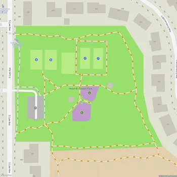
Lucky Peak State Park Map
About Lucky Peak State Park in Boise
Lucky Peak State Park is located approximately 8 miles southeast of Boise, Idaho. The park consists of three distinct units: Discovery, Sandy Point, and Spring Shores, totaling about 240 acres. It is situated on and near Lucky Peak Lake, a reservoir created by the Lucky Peak Dam on the Boise River.
The Discovery unit is a roadside park offering picnic areas and fishing access to the Boise River. Sandy Point, located at the base of Lucky Peak Dam, features a large sandy beach area with calm waters ideal for swimming and wading. The Spring Shores unit, situated at the northern end of the lake, provides boat ramps, a marina, and other amenities for water enthusiasts.
Lucky Peak State Park is a popular destination for various outdoor activities. The park's location along the Boise River Greenbelt makes it accessible by bicycle from downtown Boise. During summer months, the park can become quite busy, especially on weekends, attracting over half a million visitors annually.
The park offers scenic views of the surrounding landscape, including the reservoir and the nearby foothills. The water level of Lucky Peak Lake can fluctuate significantly throughout the year due to its primary purpose of flood control, which can affect recreational activities.
Wildlife viewing opportunities are available in the park and surrounding areas. The nearby Boise River Wildlife Management Area serves as an important winter range for deer and elk.